Two launch services, each built around what a drone does better than anything on the ground: height, angle, and a clean line of sight. Both are stills-first, fast, and easy to book.
Built for listings that need a broader view. One 20-minute flight captures 10–15 high-resolution aerial stills covering the property, lot lines, and surroundings — delivered digitally, ready for the MLS.
A monthly photo record of your build. We fly the same site on the same angles every visit, so each month lines up with the last — a clean visual timeline for stakeholders, lenders, and buyers who want to see progress without a site visit.
Based in Newcastle, Ontario, serving Clarington, Durham Region, and the Kawarthas.
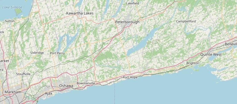
Map data © OpenStreetMap contributors. Coverage area is indicative; exact flight availability is confirmed during planning.